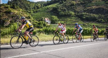

Ideal for beginners. On the approx. 50 km long Wachau Light Radmarathon cyclists get their money's worth. The varied route leads around the Göttweigerwald, through the Dunkelsteinerwald and finally along the Danube back to the finish area in Mautern. This route is particularly suitable for enjoying the unique scenery.
Route and elevation profile
Length: 53,2 km
Total ascent: 463 meters
Difference in altitude: 341 meters (altitude from 194 to 535 meters)
Refreshment station
Refreshment station: Maria Langegg (at kilometer 22.6)
- Due to the new deposit system in Austria, plastic bottles are no longer available at the refreshment station.
- Instead, there are 0.2 litre cups with water or ISO (brand: Nrgy Drink 45).
- You can also refill your own bottles at the refreshment stations.
- The cups will not be handed out - it is self-service.
- There will also be power bars, bananas, cakes and dextrose tablets.
Downloads
- Route and elevation profile Wachau Light Cycling Marathon
- Route table Wachau Light Cycling Marathon
- Local route restrictions Wachau Cycling Marathon
- Wachau Light Cycling Marathon as GPX
- Wachau Light Cycling Marathon as KML file